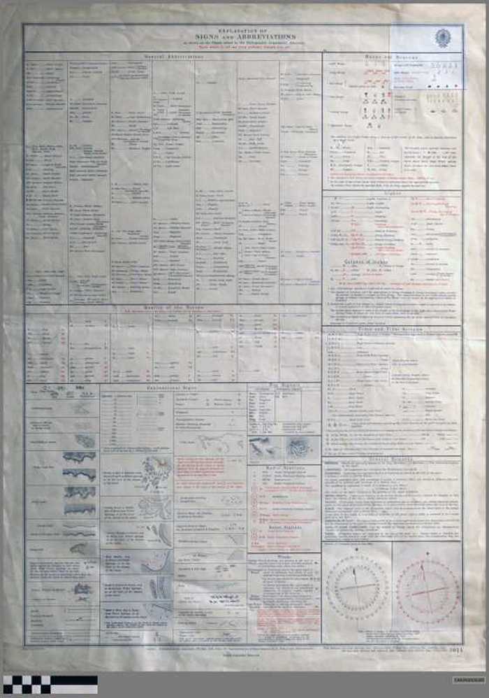
Explanation of symbols and abbreviations as shown on the charts issued by the Hydrographic Department, Admirality (N° 5011)

CARZKXX00285
Legendekaart bij zeekaarten uitgegeven door de Admirality van de Britse dienst voor Hydrografie. Gepubliceerd op 17 mei 1910 onder de leiding van roer-admiraal H.E. Purey-Cust, hydrographer [hydrograaf]. Nieuwe editie: 3 januari 1947. N° 5011
Kleur. Kartonpapier. Rode en zwarte druk.(70x51 cm).
Kaarten plattegronden en plannen
Zeekaarten
3/jan/47
Crown
Admirality, London
Dilte