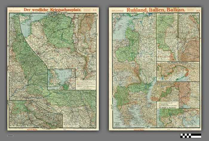
Paasche's Frontenkarte: Der westliche Kriegsschauplatz - Russland, Italien, Balkan - Nr 19

CARLKXX01057
Paasche's Frontenkarte 19 - Militarische Monatsbericht in Kartenbildern. Voorkant: Der westliche Kriegsschauplatz - Kampfzone vom Meere bis zur Maar und Mosel - Schaal 1:500.000. England - Schaal: 1:7.500.000. An der Lothringischen Grenze - Schaal: 1:500.000. Stand vom Ende Juli 1917. Achterkant: Russland, Italien, Balkan - Von der Ostsee bis zum Mittelmeer - Schaal: 1:5.000.000. Die Front in Wolhynien - Schaal: 1:650.000. Das Kampfgebiet in Ost-Galizien - Schaal: 1:1.000.000. Vom italienischen Kriegsschauplatz - Schaal: 1:1.750.000. An der Grenze von Südtirol - Schaal: 1:400.000. Am Isonzo - Schaal: 1:300.000. Die Kämpfe in Mazedonien - Schaal: 1:2.500.000. Stand vom Ende Juli 1917.
Papier | Rechthoek | Veelkleurig | 45,4 x 59,9 cm | Kaart is in 16 geplooid. Enkele scheurtjes en gaatjes langs de plooien. Datum is toegevoegd met inkt.
Kaarten plattegronden en plannen
Landkaarten
1917
Anstalt von Paasche & Luz (Stuttgart)
Paasche, Walter
Dilte