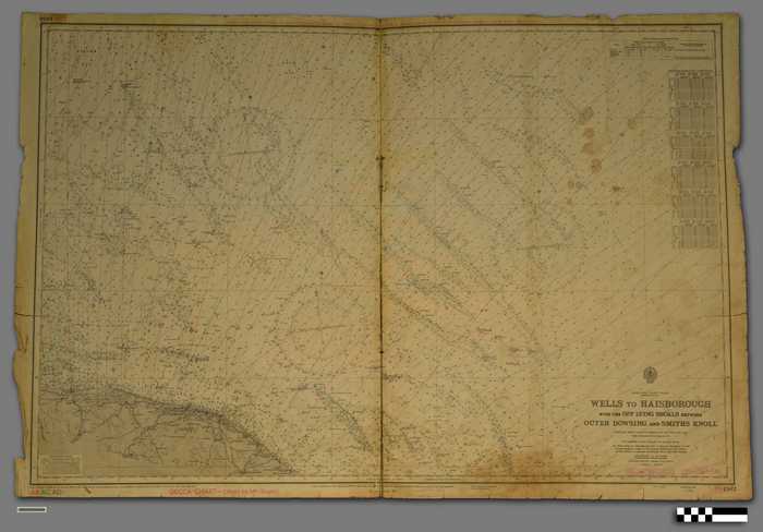
Zeekaart 'Wells to Haisborough with the Off Lying Shoals between Outer Dowing and Smiths Knoll'

CARZKXX00446
Zeekaart Wells to Haisborough with the Off Lying Shoals between Outer Dowing and Smiths Knoll compiled from various Admiralty surveys, 1847-1964. With additions and corrections to 1965. New Editions 11th Mar. 1966. Large Corrections. Achterzijde: L(D5)1503. Printed December 1970. U.K. Price £ 1.00
Papier | Rechthoek | Vergeeld, meerkleurendruk | Schaal: 1/150.000 | 100,6 cm x 68,6 cm, uitgevouwen | Verkleurd, middenplooi gescheurd, scheuren, vlekken, randen uitgerafeld, sporen van gebruik, gaatjes, sporen van plakband
(ON: 2021/009-4/4-7)
Kaarten plattegronden en plannen
Zeekaarten
4/12/1959
Admiralty, London
Collins, B., Rear Admiral
Depot